Best Geospatial Software 2026
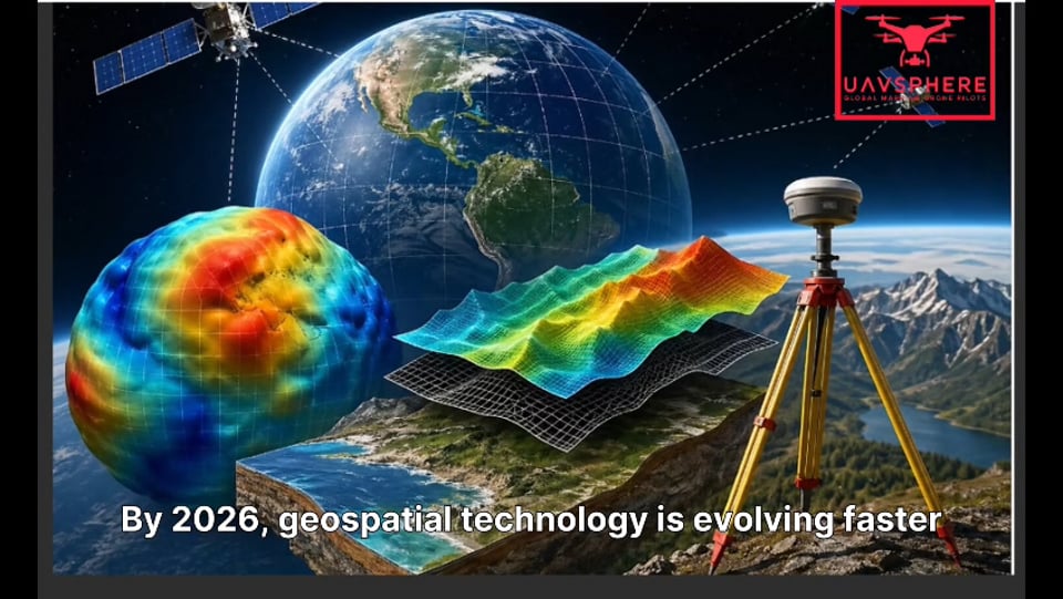
By 2026, geospatial technology is advancing rapidly through the integration of cloud computing, artificial intelligence, and massive spatial datasets. GIS professionals, developers, and organizations now have access to a wide range of software platforms designed for mapping, spatial analysis, visualization, and enterprise decision-making. Choosing the right GIS software has become essential for improving productivity, scalability, and data-driven insights.
QGIS remains the leading open-source GIS platform worldwide because it is free, flexible, and supported by a large global community. It works across Windows, macOS, and Linux, and offers thousands of plugins for customization. QGIS is widely used by students, researchers, NGOs, and organizations with limited budgets due to its low cost and lack of vendor lock-in.
Esri’s ArcGIS continues to dominate enterprise GIS in 2026. The ArcGIS ecosystem includes ArcGIS Pro, ArcGIS Online, and ArcGIS Enterprise, offering advanced spatial analysis, 3D modeling, real-time monitoring, and strong API support. It is commonly used by governments, corporations, and infrastructure-focused organizations that require scalable enterprise-level GIS solutions.
Mapbox is a developer-focused mapping platform designed for creating modern geospatial applications. It provides customizable vector maps, real-time geolocation, and SDKs for mobile and web applications, making it ideal for navigation systems, logistics platforms, and interactive dashboards.
AI-powered GIS platforms are also shaping the future of geospatial analysis. GeoWGS84.ai combines artificial intelligence with GIS workflows through automated feature extraction, predictive spatial analysis, natural language GIS queries, and AI-based preprocessing. Meanwhile, GeoExpress specializes in high-speed raster data processing for satellite imagery and large geospatial datasets.
Other important tools include GeoViewer for user-friendly GIS visualization and Google Earth for global satellite imagery and storytelling. Specialized solutions such as GRASS GIS, GeoServer, Leaflet, Cesium, and Global Mapper further expand GIS capabilities.
Overall, the GIS software landscape in 2026 is highly diverse, combining traditional enterprise platforms with AI-driven and cloud-based innovations. Organizations must evaluate their workflows, technical expertise, scalability needs, and budget to choose the most suitable geospatial solution.